During the Jim Crow Era
Jason’s Beach
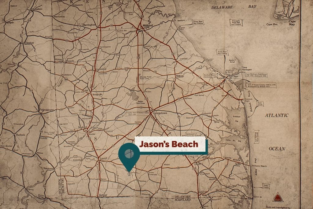
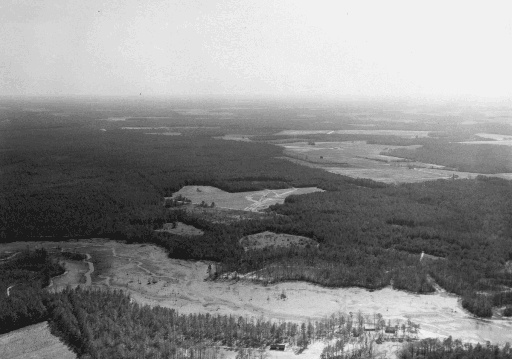
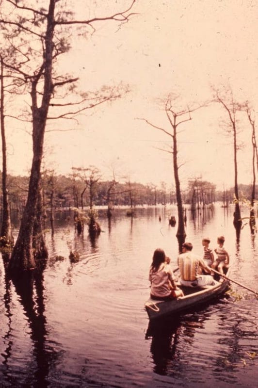
Jason’s Beach is located on the ancestral homeland of the Nanticoke people. It is located along the southeastern perimeter of Trap Pond in southwest Sussex County. It is the only inland beach in the digital exhibit on Delaware beaches frequented by Black people during the Jim Crow era of the United States in Delaware.
The land was acquired by the Federal government in 1951 under Franklin D. Roosevelt’s New Deal Program. Prior to the acquisition the pond consisted of two separate beaches, LeCate’s Point and Whaley’s Point. After the acquisition they were called Trap Pond Beach Headquarters and Jason’s Beach. Both beaches, one being whites only and the other for Black people and other people of color, were advertised as having a bathhouse, picnic shelters, toilets, picnic tables, fireplaces, and food concession stands.
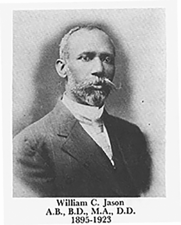
Jason’s Beach was named after Dr. William C. Jason, president of Delaware State University from 1896 until his resignation in 1923 when he returned to the ministry in the Methodist Episcopal Church.
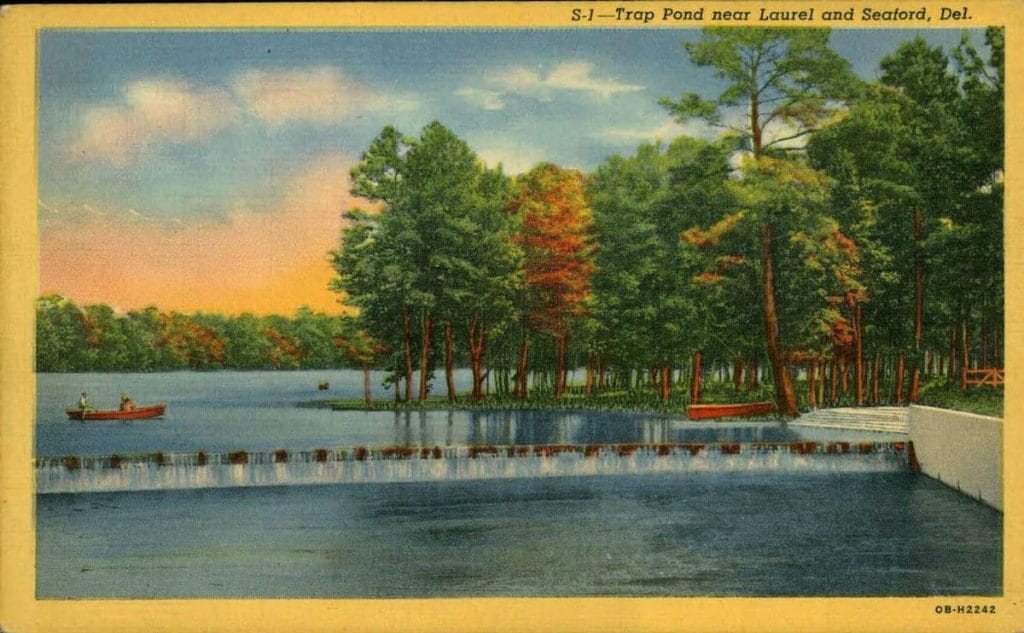
The beach was popular among various churches in the region that used it as a site for activities and Sunday School meetings. Sometimes their church events were purposefully planned with other churches to provide members fellowship with neighbors they knew from other churches. As the beach became more popular and a jukebox and dance floor was added to the site, the church events were moved to a seaside beach area called Strawberry Landing.
The Civil Rights Act of 1964 officially ended the separate uses of Trap Pond Beach and Jason’s Beach. However, due to the deteriorating nature of Jason’s Beach’s facilities, the attendance at the beach had already dwindled among Black beach goers in the area.
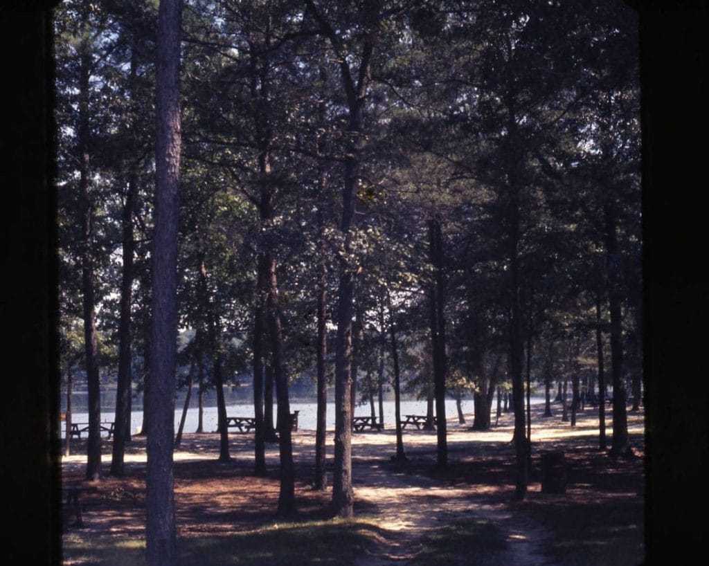
Today the area is known as Cypress Point, in homage to the cypress wetland area that spans acres in the area.
RG 1306-000-029 Delaware Economic Development Office Slide Collection. View the original source at Delaware Public Archives.
Additional Resources
- Koth, William, “DE Parks and Rec – Jasons Beach at Trap Pond,” Delaware State Parks, Cultural Resource Unit, 2021.
- Native-Land.ca, accessed July 15, 2021.
- Oral History by Charles Laws and Dara Savage conducted by Kelli Racine Barnes, July 20, 2021.
- “Trap Pond State Park,” Delaware State Parks, accessed August 18, 2021.